We use our own and third-party cookies to improve your browsing experience and to offer you content and services of interest.
Continued browsing on your part shall imply full acceptance of our cookies policy.
Your consent preferences
The following panel allows you to customize your consent preferences for any tracking technology used to help us achieve the features and activities described below. For more information on how these trackers help us and how they work, please see the cookie policy. You can review and change your choices at any time.
We use our own and third-party cookies to improve your browsing experience and to offer you content and services of interest.
Continued browsing on your part shall imply full acceptance of our cookies policy.

Geographic information system technician
Other denominations
Environmental GIS technician
Description
Geographic Information Systems (GIS) are computer programmes for the storage and use of geographic information. They make it possible to analyse, visualise and edit different types of data on maps. The environmental GIS technician uses one of these programmes for data maintenance and management, the environmental documentation, study, characterisation and planning of the physical environment, territorial analysis, natural resource management, archaeology and historical and cultural heritage, transport and communication, etc. The different data that can be integrated can range from legal regulations with territorial transposition to crop maps, and include environmental management infrastructures In this way, one can integrate all the data that affects the environment in a specific area and monitor it using indicators, simulations, prospects, comparisons, etc.
Tasks
- Manage alphanumeric and digital cartography databases using programmes designed for the implementation of geographic information systems (such as Arcinfo, Mapinfo, ArcGis, etc).
- Enter environmental data into the GIS.
- Maintain the information and continuously keep it updated.
- Prepare periodic reports on the managed indicators and on the impact of the measures implemented in the area.
Training
Regulated training and graduates
This profile does not match a single specialised qualification. Various studies equip you to carry out this occupation, including:- Grau: Geografia
- Grau: Enginyeria en geoinformació i geomàtica
- Grau: Enginyeria geològica
Complementary training
Training in environmental management (territorial), territorial management modules or similar. Specific training in IT tools related to geographic information system management.More occupations with this training | Look for more information on the degree of interest
Experience
Soft skills
Gain insight into soft skills | Access the dictionary of soft skills
Interests
New technologies
People who show an interest in this field are motivated by the development and advanced use of new technologies in any of their applications (software, hardware, telecommunications) from an innovative perspective and in accordance with the continuous updates of technologies, programmes and equipment that appear on the market. The design, installation, management and maintenance of computer systems and new technologies are activities specific to this field.
More occupations with your interests | Get to know your professional interests | Glossary of interests
Related occupations
Wage earner
Work hours
Full-time.Salary
Salary ranges from 17.661 to 24.281 euros per annum gross. Median: 20.709 euros annum gross.
Source: Report ¿Observatory of Jobs and Salaries of the Labour Market. Barcelona Activa¿, elaborated by ICSA Grupo. April 2015.Professional category
Technician
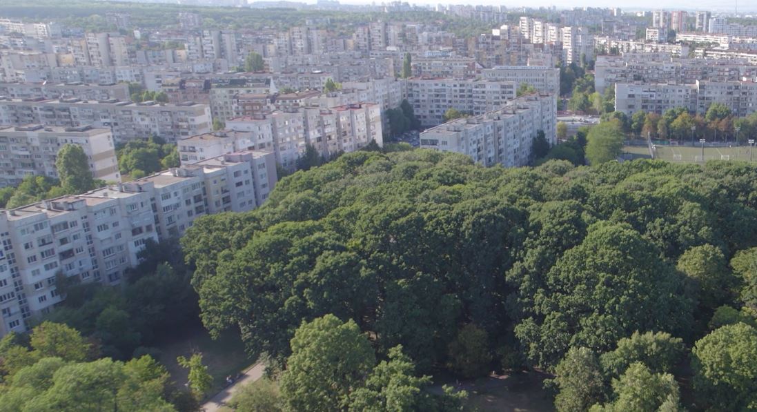
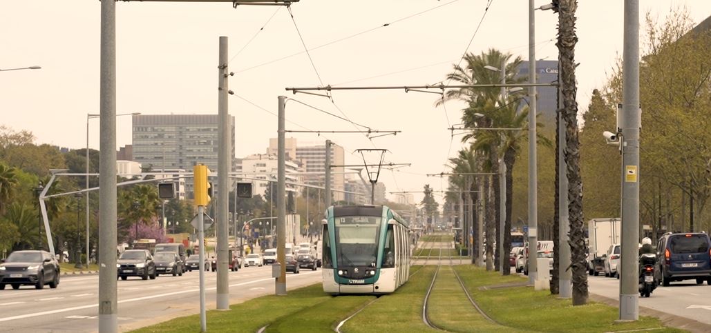
Habitat and Urban Services
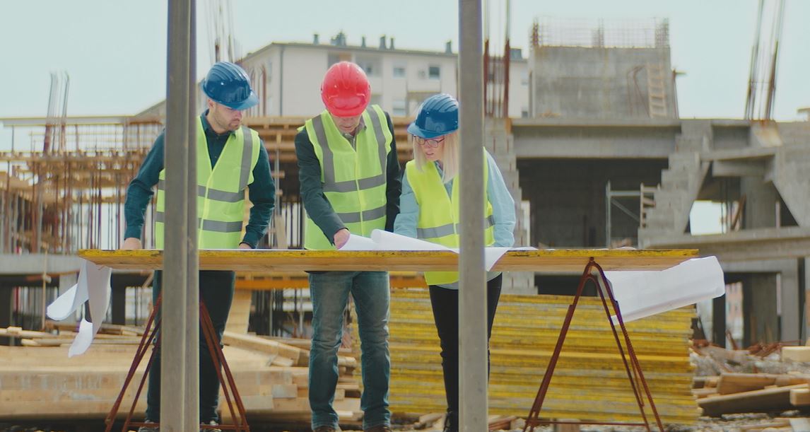
The habitat and urban services industry responds to any society¿s need for housing and related services. However, despite this need being constant, the evolution of the industry and its growth is reliant on the economic situation that shapes the purchase power of residents, the property market and public investment. This industry is home to a range of professional profiles dedicated to construction, which can be grouped into the different stages of construction, from construction work itself to the renovation of buildings and services dedicated to selling property, without forgetting occupations that involve controlling the safety and quality of materials and compliance with the established procedures. In turn, urban services are intrinsically associated with construction, as they respond to the maintenance and correct functioning needs of these urban habitats in a broader sense.
Construction
01-2006 |  | Catalan | Beginner
Documents (5 of 6)
Sector Overview: Habitat and Urban Services
04-2024 |  | English | Advanced
This document shows data to have more information about the sector that will help you in your decisions regarding your training-work itinerary. This data is grouped into the following
Author: Barcelona Activa
Publishing date: 04-2024
 Open
OpenFocus sectoria: Sustainable mobility
02-2024 | | English | Advanced
Brief report where he explains the evolution of the sector towards a more sustainable model. Also of the impact on the sector and the creation of new professional profil·les.
Author: Barcelona Activa
Publishing date: 02-2024
Focus sectorial: Smart cities
02-2024 | | English | Advanced
Brief report that talks about a new urban management model: smart cities. It also details the new professional profiles that the labour market will request.
Author: Barcelona Activa
Publishing date: 02-2024
Sector Report: Habitat and Urban Services
12-2023 | | English | Beginner
Sectoral report showing the keys to this economic area as well as the main trends, both consolidated and emerging, in activities and professional profiles and reveals future scenarios.
Author: Barcelona Activa
Publishing date: 12-2023
Focus sectorial: Sustainable construction
08-2023 | | English | Advanced
A short report about the importance of sustainable construction inside a global framework including the life cycle view. It also details what will be asked for professionals in sustainable
Author: Barcelona Activa
Publishing date: 08-2023
Related Videos (4 of 4)
Sectorial testimony: Pere Solà
Pere Solà, architect in Parc de l'Alba, tells us the importance of urban habitat and services in the future of the sector, how it will transform the work of professionals who are dedicated to it and what are the new trends.
Sectorial testimony: Isabel Valle
Isabel Valle, comercial director of Fundación Laboral de la Construcción in Catalonia, talks about the importance of renovation in the future of the construction sector and how it will transform the work of professionals dedicated to it.
Sectorial testimony: Laia Pagés
Laia Pagès, executive and scientific director of CARNET, talks about the importance of logistics and mobility in the future, how it will transform the work of the professionals involved and what the new trends are.

Jornada sectorial: Fabricació Digital i Impressió 3D
Vídeo on trobaràs un resum dels conceptes clau que van debatre els i les professionals i empreses participants a la jornada sectorial sobre l'impacte i potencial de la Fabricació Digital i la Impressió 3D en el futur de l'ocupació.
Useful links (5 of 9)
Habitat and Urban services sector: sector's ecosystem
14-02-2024 |  | English | Beginner
Formative centres, reference clusters, guilds, colleges, city projects... All of this and much more in this infographic that will allow you to gain a thorough knowledge of the ecosystem
Author: Barcelona Activa
Date of issue: 11-01-2024
https://treball.barcelonactiva.cat/infografies/en/ecosistema/habitat-and-urban-services.html
Habitat and urban services: EVOLUTION AND TECH CHANGE
10-01-2024 | | English | Beginner
Habitat and urban services has gone through different transformational processes and milestones in recent decades, which have impacted professionals and asked them for new skills and knowledge. Let us
Author: Barcelona Activa
Date of issue: 10-01-2024
https://treball.barcelonactiva.cat/infografies/en/timeline/habitat-and-urban-services.html
Habitat and Urban Services Sector Infographic: From Training to occupation
18-01-2023 | | English | Beginner
In this infographic you will be able to consult which of the formations will allow you to access the Habitat and Urban Services sector, some of the most outstanding
Author: Barcelona Activa
Date of issue: 05-12-2022
https://treball.barcelonactiva.cat/infografies/en/sector/habitat-and-urban-services.html
Observatorio Industral de la Construcción
23-06-2021 | | Spanish | Beginner
El sector de la construcció es troba davant nous escenaris i reptes excepcionals que haurà de superar per a poder continuar realitzant la seva labor. L'Observatori de la Construcció
Date of issue: 22-06-2021
Fundación Laboral de la Construcción
29-12-2020 | | Spanish | Advanced
Fundació privada sense ànim de lucre d'àmbit estatal que té per objectius el foment de la formació professional, la millora de la salut i de la seguretat en el
Display Industry's jobs:
Habitat and Urban Services
Building construction and restoration
- Building work definition
- Building work execution
- Building maintenance
- Public works and infrastructures
- Building works occupations
- Thermo-clay bricklayer
- Building waterproofing system installer
- Formworker
- Tiler
- Aluminium joiner
- Drywall panel installer
- Painter
- Bricklayer
- Parquet flooring installer
- Spray plasterer
- Solderer
- Technician in working at heights
- Tubular scaffolding assembler
- Tower-crane assembler
- Lifting devices assembler and repair person
- Tower-crane operator
- Installer of heating and water systems
- Installer of air-conditioning systems
- Building Home Automation Installation Technician
- Environmental worksite management technician
- Electrical systems installer
- Gas Network Operator
- Expert in development and marketing of domotic and inmotic products
- Carpenter
Urban Services
- Public spaces
- Provision of basic services
- Wastewater treatment plant technician
- Electricity market analyst/operator.
- Treatment plant maintenance manager
- Water treatment plant project engineer
- Electrical substation operator
- Product Manager in Plant Equipment
- Desalination plant commissioning manager
- Researcher for R&D dealing with water treatment and/or desalination
- Wastewater treatment plant maintenance technician
- Police officer
- Public health